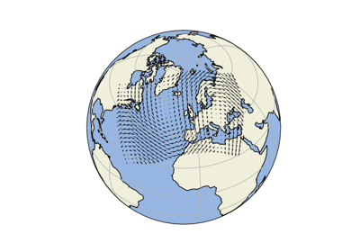
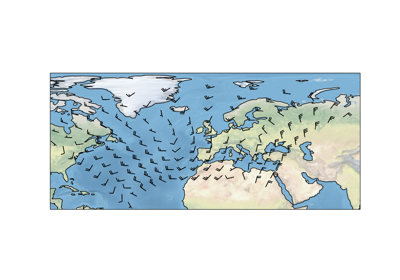
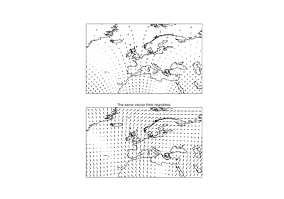
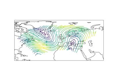
Ctrl+K
Logo image Logo image

Site Navigation

  • Getting started
  • Gallery
  • Installation
  • API reference
  • What’s new

Site Navigation

  • Getting started
  • Gallery
  • Installation
  • API reference
  • What’s new

Section Navigation

  • Lines and polygons
    • Custom Boundary Shape
    • Feature Creation
    • Features
    • Global Map
    • Hurricane Katrina
    • Nightshade feature
    • Rotated pole boxes
    • The effect of badly referencing an ellipse
    • Tissot’s Indicatrix
  • Scalar data
    • Adding a cyclic point to help with wrapping of global data
    • Contour labels
    • Contour transform options
    • Filled contours
    • Map tile acquisition
    • Plotting the Aurora Forecast from NOAA on Orthographic Polar Projection
    • Reprojecting images from a Geostationary projection
  • Vector data
    • Arrows
    • Barbs
    • Regridding vectors with quiver
    • Streamplot
  • Web services
    • Displaying WMTS tiled map data on an arbitrary projection
    • Interactive WMS (Web Map Service)
    • Interactive WMTS (Web Map Tile Service)
    • Web Map Tile Service time dimension demonstration
    • Web tile imagery
  • Gridlines and labels
    • Gridlines and tick labels
    • Tick Labels
  • Miscellanea
    • Animating a gridded surface
    • Cartopy Favicon
    • Cartopy Logo
    • Displaying all 60 zones of the UTM projection
    • Displaying data on an eccentric ellipse
    • Modifying the boundary/neatline of a map in cartopy
    • Tube Stations
    • UN Flag
    • Using Cartopy and AxesGrid toolkit

Vector data#

Arrows

Arrows

Arrows
Barbs

Barbs

Barbs
Regridding vectors with quiver

Regridding vectors with quiver

Regridding vectors with quiver
Streamplot

Streamplot

Streamplot

previous

Reprojecting images from a Geostationary projection

next

Arrows

Show Source

© Copyright 2011 - 2018 British Crown Copyright, 2018 - 2022 Cartopy contributors.

Created using Sphinx 5.1.1.